
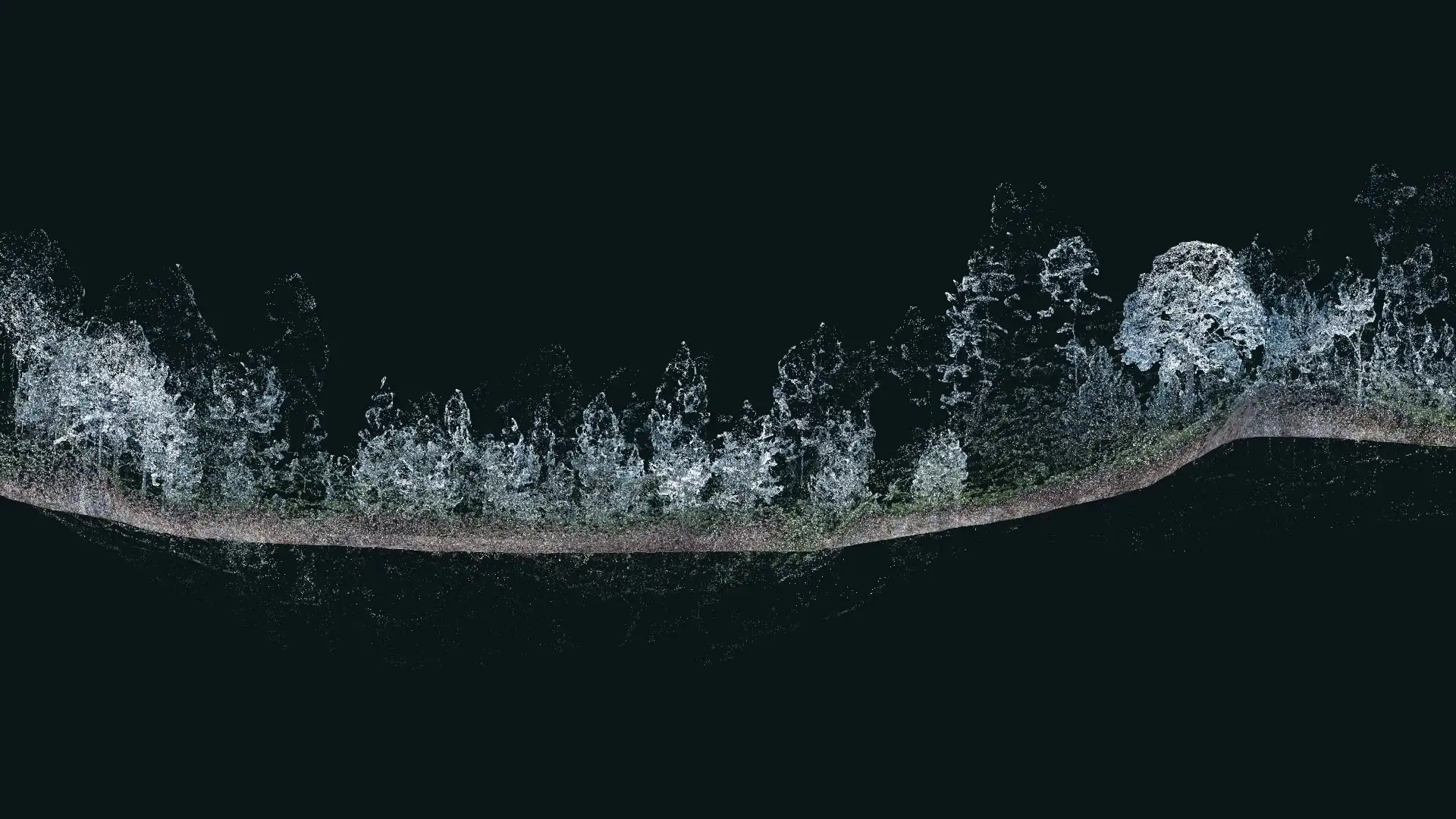
Mapalytics maps buildings, sites and corridors in Riyadh with LiDAR SLAM mobile mapping. Our surveyor walks the site with a handheld LiDAR scanner, and SLAM software turns the walk into one accurate, colourised point cloud that your designers, engineers and contractors can measure from.
Saudi projects move fast and cover large areas. A walk-through LiDAR survey captures a whole building, campus or street in a single visit, so your team works from measured data instead of old drawings or repeated site visits.
What we map with LiDAR SLAM
- Existing buildings. As-built plans, sections and scan-to-BIM models before renovation, fit-out or handover.
- Construction progress. Regular scans to check work against the design model and measure earthworks.
- Campuses, districts and streets. Large built-up areas mapped from the ground, including shaded and covered spaces a drone can’t see.
- Industrial plants and utilities. Pipe racks, equipment and structures captured for inspection and retrofit.
- Heritage sites. Permanent digital records of historic buildings and districts, as we did for the Manama Souq digital double in Bahrain.
How a LiDAR scanning project works
- Scope. We agree the area, accuracy, deliverables and the software your team uses.
- Walk-through capture. Our team scans the site on foot, tied to project coordinates with GNSS where needed.
- Processing. The SLAM data is processed into a clean, registered point cloud and checked for accuracy.
- Modelling. We produce the drawings, BIM model, volumes or mesh you need.
- Delivery. You receive the files, plus a web viewer for everyone on the project.
Need millimetre-level scan-to-BIM? See 3D laser scanning in Riyadh, or combine scanning with a digital twin for developers. Projects in Pakistan: LiDAR SLAM mobile mapping in Pakistan.

