Mapalytics turns real buildings, sites and objects into accurate 3D data. Our 3D laser scanning and reality capture services combine terrestrial laser scanners, aerial LiDAR and photogrammetry to produce point clouds, digital twins and BIM models you can measure and design on.
Our work ranges from UNESCO World Heritage preservation to scan-to-BIM for architects, mining volumetrics and industrial as-builts.
What we capture
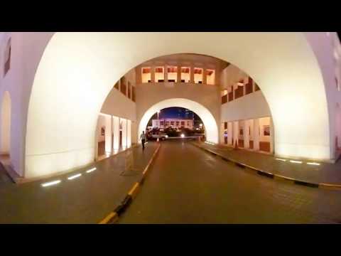
- Buildings and interiors. Precise as-built point clouds and scan-to-BIM models for renovation, retrofit and facility management, like our Manama Souq digital double in Bahrain.
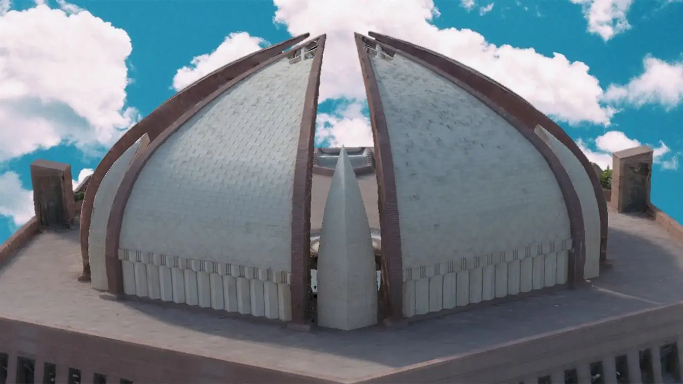
- Heritage sites. Heritage faces threats from natural disasters, urbanisation and neglect. We create digital twins so it is preserved for future generations. See our work on the Makli Necropolis and Chauburji and Gandhara artefacts.
- Industrial facilities. Accurate models of ageing plants and structures for safe inspections, clash checks and redesign.
- Mines and stockpiles. Volumetric measurements of stockpiles, mounds and excavations, with daily, weekly or monthly scans.
- Objects and game assets. Photorealistic, game-ready 3D assets for studios building immersive environments.
How a scanning project works
- Scope. We agree the area, level of detail, accuracy and deliverables.
- Capture. Our team scans on site with laser scanners, and from the air with drones where needed.
- Registration. Scans are aligned into a single, georeferenced point cloud.
- Modelling. We produce meshes, digital twins, BIM models or drawings from the point cloud.
- Delivery. You receive files for your CAD, BIM or GIS software, and can explore the model online.