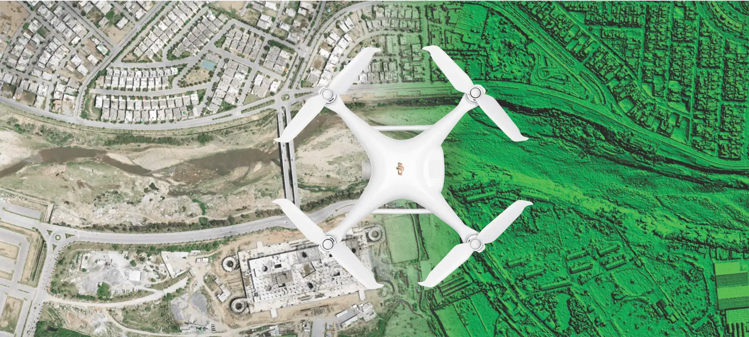
Mapalytics brings precision and speed to land mapping with professional survey drones. Our drone-based topographic mapping captures large areas quickly and accurately, up to 10 times faster than traditional land surveys and at a fraction of the cost.
Covering 800 to 2,000 acres per day with centimetre-scale precision, we generate accurate digital elevation models and 3D terrain maps, even in remote or hard-to-reach locations. Developers, engineers and planners get data they can measure and design on, not just pictures.
How a drone survey works
- Scope and plan. We agree the area, accuracy, deliverables and flight permissions.
- Ground control. Our team sets control points with GNSS equipment to tie the survey to real-world coordinates.
- Flight. Automated flight plans capture overlapping imagery or LiDAR across the whole site.
- Processing. Photogrammetry and point-cloud processing produce orthophotos, elevation models and contours.
- Delivery. You receive files ready for CAD and GIS, and can view everything in our Web GIS digital twin portal.
Built for large-scale planning
Drone surveys are the foundation for master planning, road and plot layouts, drainage design and earthwork estimates. For housing societies, the same data feeds directly into plot management and construction monitoring later in the project.