
Services
Services for every stage of your project
Plan with drone surveys, manage with a digital twin, monitor in VR and sell with photorealistic visualisation. Use one service or all of them on the same data.
All services
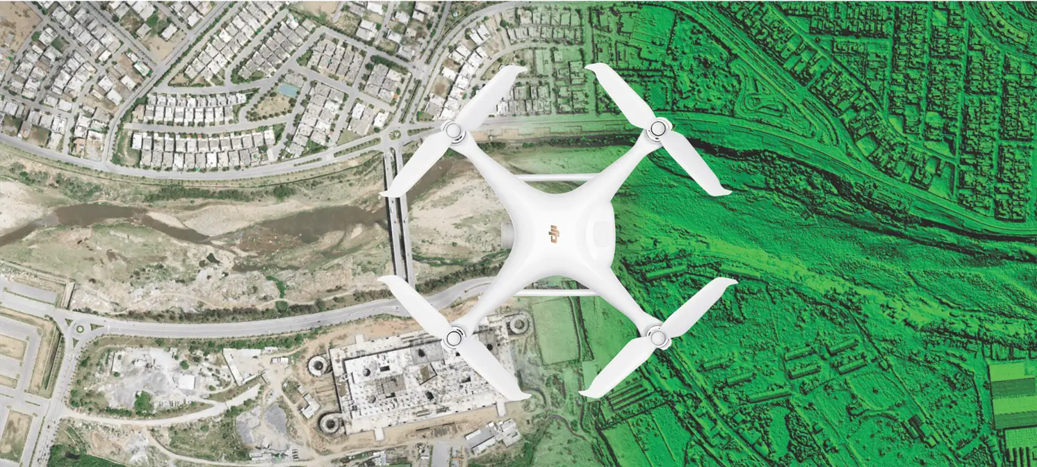
Drone survey
Drone surveys across Pakistan, 800–2,000 acres a day with centimetre-scale accuracy. Orthophotos, elevation models, contours and 3D terrain for master planning.
Explore
Digital twin GIS
One secure Web GIS portal for your whole project. Plots, members, payment schedules and survey data on an interactive map.
Explore
Construction monitoring
Step into your site at every phase. 360° captures on a VR timeline for remote oversight, audits and investor updates.
Explore
VR and 3D visualisation
Photorealistic renders, animations and VR walkthroughs that let buyers experience a property before it is built.
Explore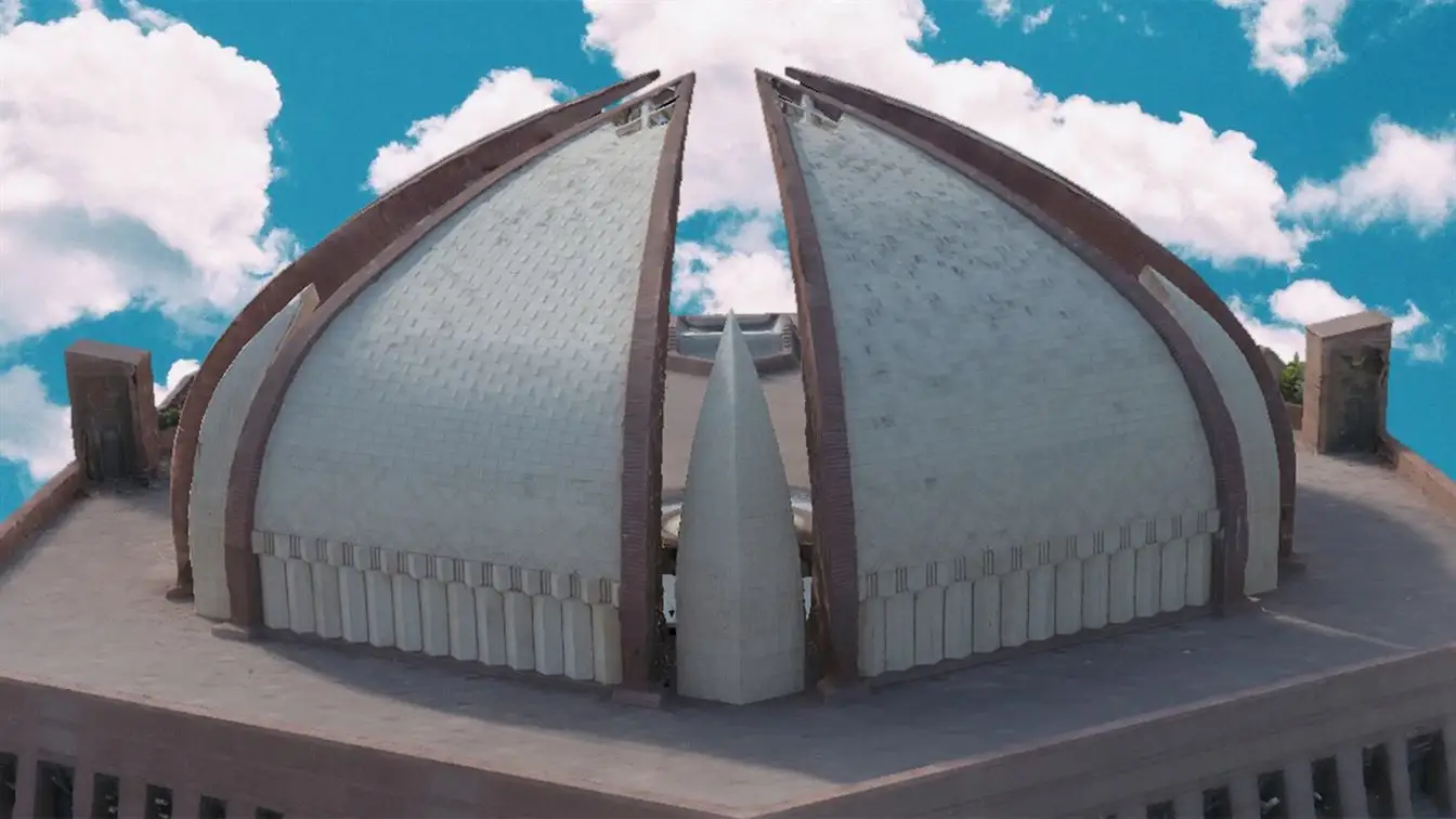
3D laser scanning
Laser scanning and photogrammetry that turn real places into measurable point clouds, digital twins and BIM models.
Explore
Virtual tours
Put your housing project, mall, campus or museum on Google Street View and the web with immersive 360° tours.
Explore