Mapalytics builds digital twins for real estate developers in Riyadh and across Saudi Arabia: one live, measurable model of your development that your planning, construction, sales and operations teams all work from.
Large developments generate data in many places: survey files, master plans, contractor reports, sales spreadsheets and drone photos. A digital twin brings them together on an accurate 3D base, so decisions are made on the same, current picture of the site.
What a development digital twin covers
- Plan. Drone topographic surveys and 3D terrain give the design team an accurate base for the master plan.
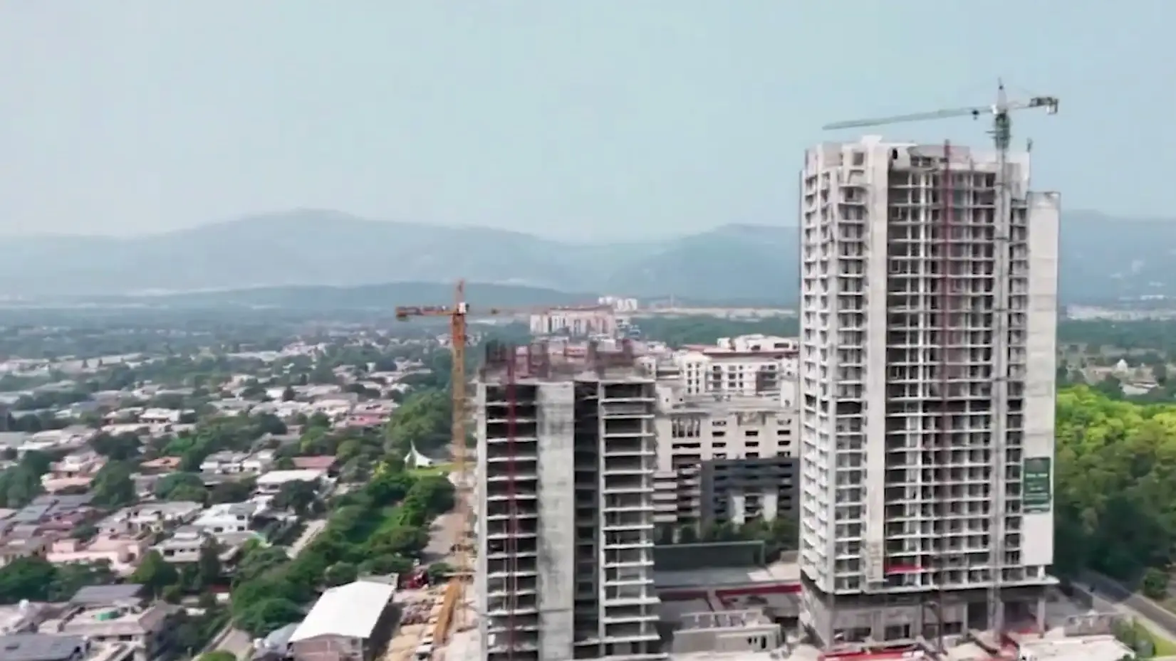
- Build. Scheduled drone, 360 and laser-scan captures show construction progress against the plan, without everyone travelling to site. Our Time-Travel VR lets your team step back through every capture, month by month, as in the video of The Garden Residence tower below.
- Sell. Buyers and investors explore the project in 3D and VR, with live availability for every plot or unit.
- Operate. At handover, the twin becomes the operator’s as-built record of the buildings and their assets.
Built on proven work
We have digitised more than 2 billion m² of land, buildings and sites. Our work includes a Web GIS digital twin for housing societies, the Manama Souq scan-to-BIM digital double in Bahrain, and UNESCO World Heritage preservation in 3D.
How we work
- Workshop. We map which teams will use the twin and what they need to see first.
- Base capture. Drone survey of the site and laser scans of key buildings.
- Twin set-up. Master plan, phases and inventory loaded into a secure web twin.
- Regular updates. Progress captures on a schedule that matches your construction programme.
- Handover. Final as-built twin and data for the operator.
Need accurate as-builts first? See our 3D laser scanning and scan-to-BIM in Riyadh.