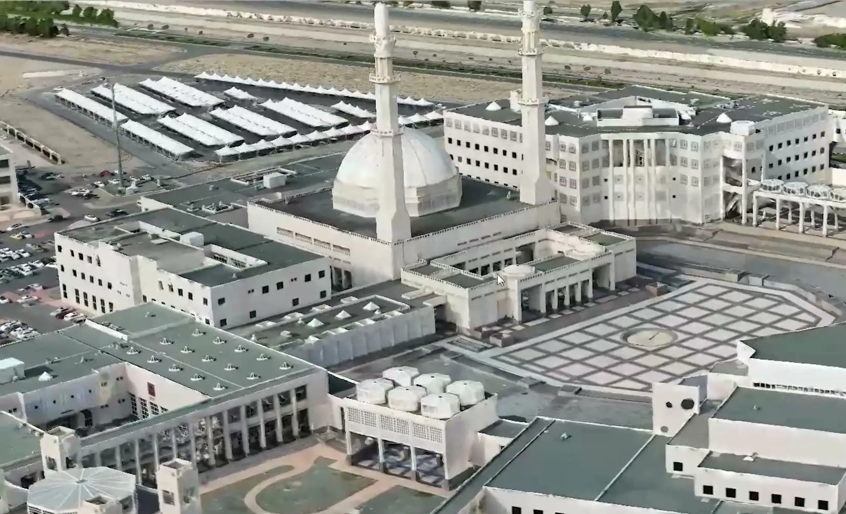
3D reality-capture model of a campus with a domed mosque and minarets, by Mapalytics

Capture

3D laser scanning and scan-to-BIM in Riyadh

Measured point clouds, as-built drawings and BIM models of existing buildings and sites, from our Riyadh office, for projects across the Kingdom.

Why choose Mapalytics for laser scanning and scan-to-bim

  • As-built, not as-drawn

    Laser scanners record millions of measured points, so your models and drawings match what is actually on site.

  • BIM your team can use

    Registered point clouds and scan-to-BIM models in Revit and IFC, ready for design, coordination and facility management.

  • Fewer site visits

    Capture the whole building once. Architects, engineers and contractors then measure from the data instead of returning to site.

  • A permanent record

    Heritage buildings, plants and finished projects documented as digital twins before they are altered or handed over.

Mapalytics captures existing buildings and sites in Riyadh as accurate 3D data. Our 3D laser scanning and scan-to-BIM service turns a site visit into registered point clouds, as-built drawings and BIM models that your designers, engineers and contractors can work from directly.

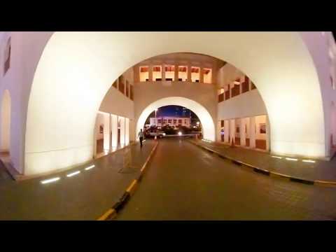
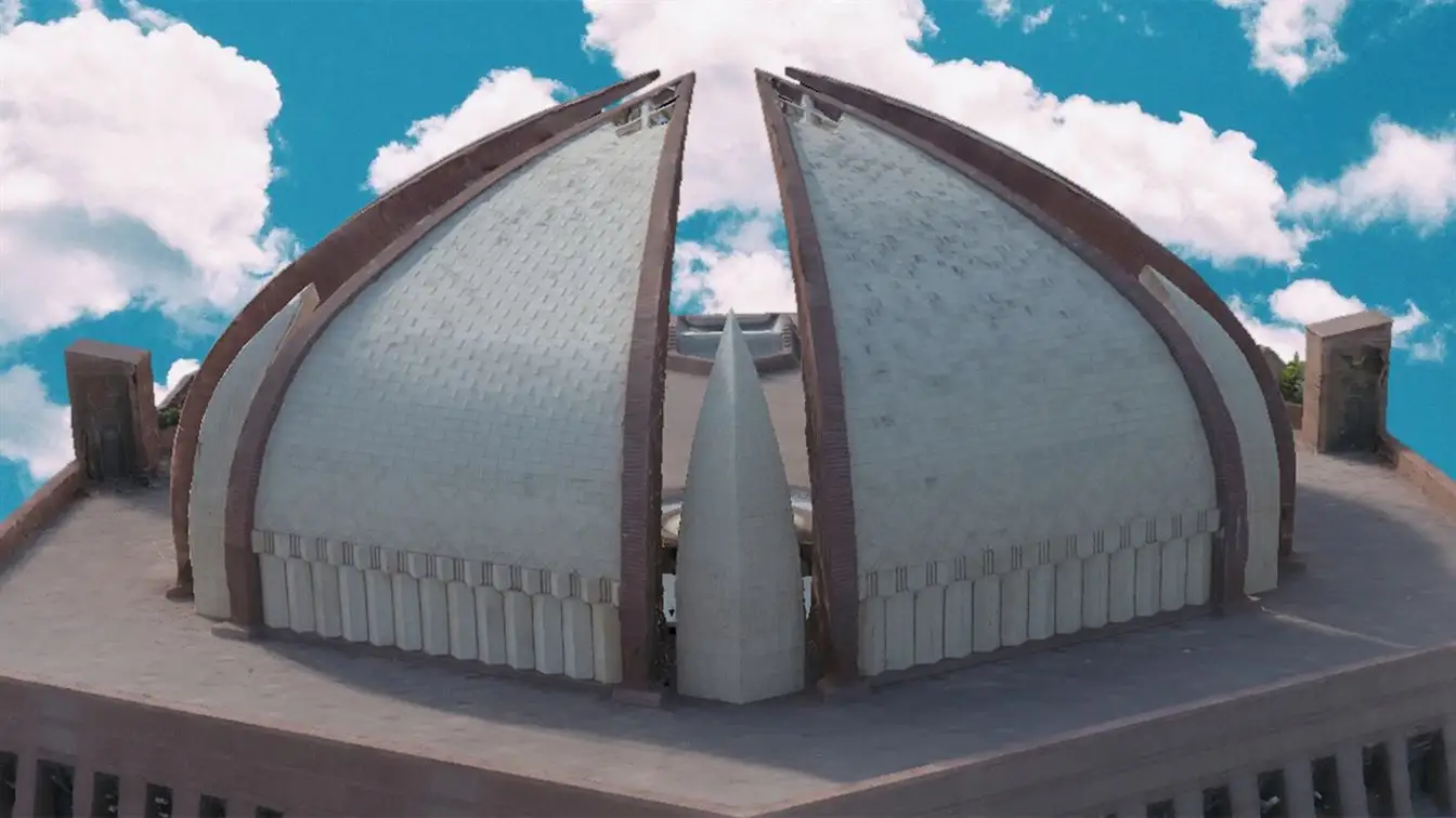
Saudi Arabia is renovating, extending and handing over buildings at a pace few markets match. Every one of those projects starts with the same question: what is actually there? Laser scanning answers it once, measurably, for the whole team. The video below shows the detail our scans capture, from Gandhara artefacts to the Manama Souq in Bahrain.

What we scan

  • Existing buildings before renovation or extension. Facades, structure, MEP and interiors captured as-built, so the redesign starts from fact rather than old drawings.
  • Construction progress and handover. Scan finished work against the design model to check deviations, and hand over an accurate as-built BIM to the owner.
  • Heritage and historic districts. Detailed, permanent digital records of historic buildings. We did this for the Manama Souq digital double in Bahrain and the Makli Necropolis with UNESCO.
  • Industrial plants and infrastructure. Accurate models of complex plant rooms and structures for safe inspection, clash checks and retrofit.

How a scanning project works

  1. Scope. We agree the area, level of detail, accuracy and deliverables, and the software your team uses.
  2. Capture. Our team scans on site with terrestrial laser scanners, adding drone photogrammetry for roofs and large sites where needed.
  3. Registration. All scans are aligned into one clean, georeferenced point cloud.
  4. Modelling. We produce the BIM model, drawings or mesh at the agreed LOD.
  5. Delivery. You receive the files, plus a web viewer so everyone on the project can explore the data.

Working on a project outside Riyadh? We also offer 3D laser scanning across Pakistan and the region, and can combine scanning with a digital twin for developers.

See it in action

Laser scanning and scan-to-BIM by Mapalytics

More videos

FAQ

Common questions

Do you work in Riyadh and other Saudi cities?

Yes. Our Saudi office is at The Garage in Riyadh, and we take on scanning projects in Riyadh, Jeddah, Dammam, Makkah, Madinah and elsewhere in the Kingdom.

What file formats do you deliver?

Point clouds in E57, LAS/LAZ or Autodesk RCP/RCS, BIM models in Revit and IFC, drawings in DWG, and meshes in common 3D formats. We match the software your team already uses.

How accurate is scan-to-BIM?

Terrestrial laser scanning measures to millimetre level. We agree the accuracy and level of detail (LOD) of the BIM model with you before we start, so the model fits its purpose, whether renovation design, coordination or facility management.

Can you scan occupied or operating buildings?

Yes. Scanning is non-contact and quick, so we plan capture around your operating hours, with minimal disruption to tenants, visitors or production.

Have you done scan-to-BIM in the Gulf?

Yes. We created a scan-to-BIM digital double of the historic Manama Souq in Bahrain, where architects now work from our data. We have also preserved UNESCO World Heritage monuments in 3D.

Tell us about your project

Send us your site location and what you need. We usually reply on WhatsApp within the working day.